Attorneys & Investigators
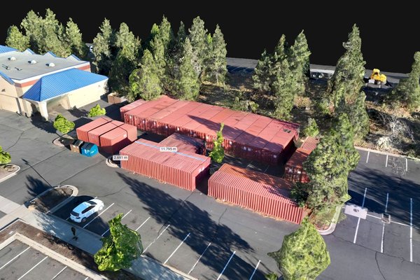
Forensic scene reconstruction and documentation using measurable maps, photo, video and 3D models captured with admissibility in mind by a licensed investigator — built to hold up to scrutiny.
Courtroom-ready captureValley Sceneworks brings an investigator's rigor to scene reconstruction, 3D modeling, mapping and visual documentation across Oregon's Willamette Valley — reality capture that clients can rely on, from a courtroom to a job site.
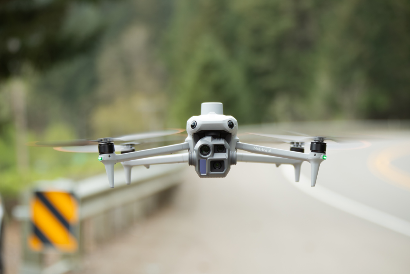
Attorneys, builders, developers, property owners, and creative clients can all rely on us for the same thing: a disciplined, defensible record of what is real. Here's where we focus the most:
Forensic scene reconstruction and documentation using measurable maps, photo, video and 3D models captured with admissibility in mind by a licensed investigator — built to hold up to scrutiny.
Courtroom-ready capture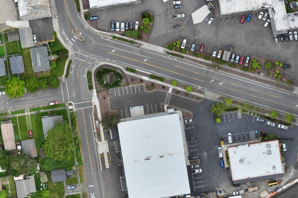
Survey-grade orthomosaic maps, volumetric stockpile measurement, progress monitoring, 3D site modeling, and digital surface models that keep projects on schedule and disputes off the table.
Map & measure a site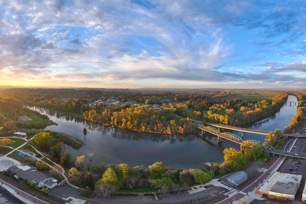
Documentary-style aerial and ground photography and video — an honest, high-quality visual record of a property, project, or place. No hype reels, just clear, dependable work.
See a property clearlyWe deliver interactive maps and 3D models you can open in any browser — pan, orbit, zoom, and take measurements against real, survey-grade deliverables. It's the difference between a stack of photos and standing on the site. Few scene reconstruction firms stand behind an explorable, measurable model with this level of rigor, backed by experienced investigators. Explore a live map and model here.
This embed is view only. Open the full viewer to measure distances, areas, and volumes.
Open in PIX4DcloudThis embed is view only. Open the full viewer to measure distances, areas, and volumes.
Open in PIX4DcloudThis is a demonstrative project, not a real case. It's shown for illustration purposes only.
Stitched, georeferenced 2D maps with survey-grade accuracy — far more detailed and current than satellite imagery like Google Maps, and built for real measurement, planning, and records.
Using photogrammetry and gaussian splatting, we create point clouds and meshes to generate immersive 3D models of a site or scene.
Stockpile, cut-and-fill, and earthwork volume calculations with documented methodology.
Scene and evidence capture built for admissibility and testimony — plus traditional, professional photo and video.
Recurring flights that track a project over time with consistent, comparable, time-stamped records.
Documentary-style aerial and ground photography and video — an honest, high-quality record of projects, places, and select creative work.
Tell us the location, the project, and the deliverables you need. You'll get a clear, written quote — not a vague range.