SERVICES
-
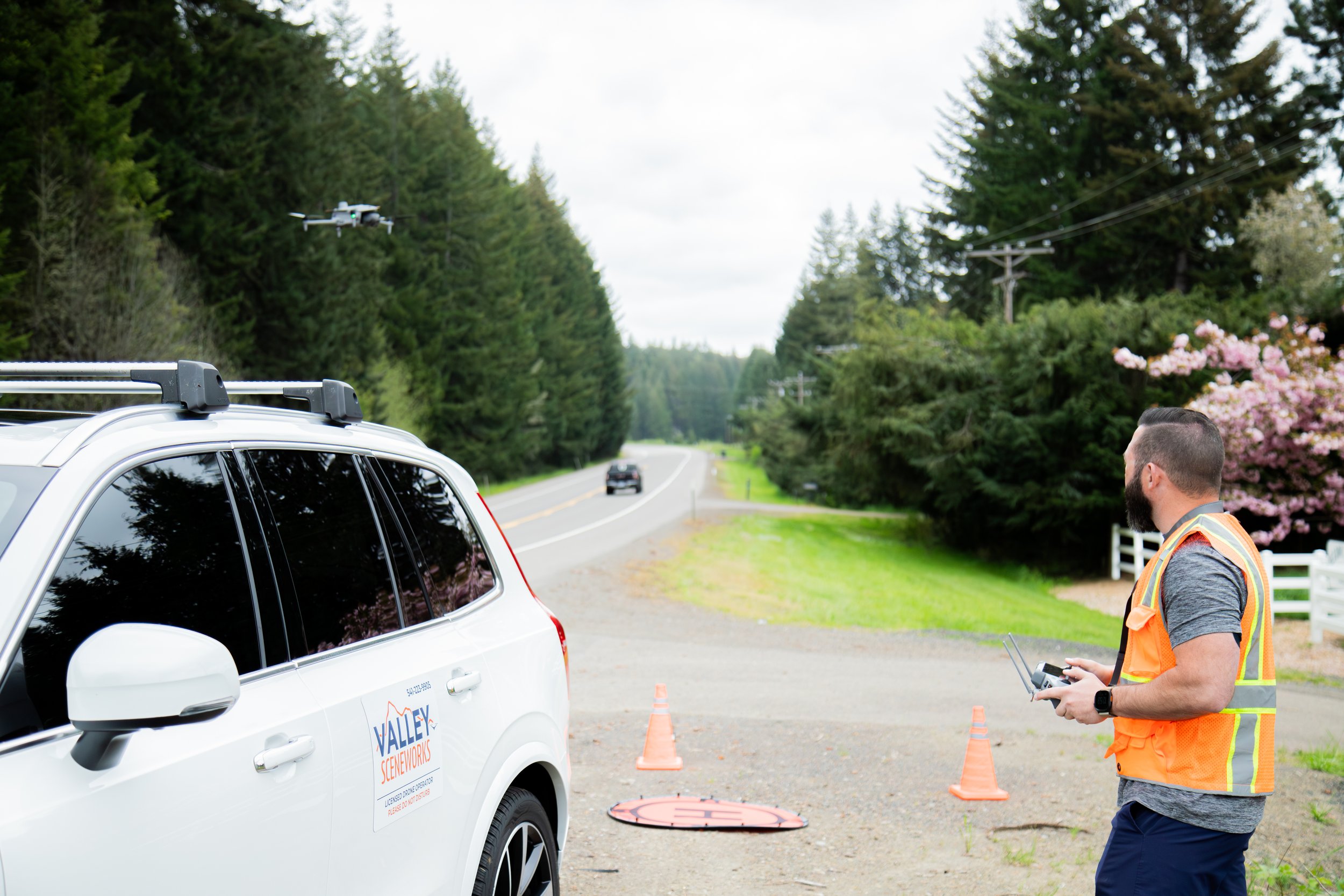
Comprehensive aerial documentation captured and processed with compliance, chain-of-custody and evidentiary admissibility in mind. Provides an unbiased, objective record of conditions at a specific point in time, critical for legal proceedings, insurance claims, and dispute resolution where the accuracy and defensibility of the visual record matters. Projects led by licensed investigators with extensive experience, including testifying in jury trials.
-
Creation of seamless, high-resolution aerial maps with precise geographic coordinates. These large scale maps are tied to a know coordinate reference system with centimeter level accuracy, allowing for accurate distance and area measurements directly on the map. These can be used for establishing scene dimensions and verifying measurements as well as site planning, grading verification, and as-built documentation for construction and land development projects.
-
Generation of highly accurate 3D models using photogrammetric processing. Outputs include dense point clouds and textured meshes that preserve the full geometry of a site in addition to gaussian splatting, providing a photorealistic view of a a scene. Enables virtual examination of spatial relationships, sightlines, and physical conditions from any angle.
-
Precise calculation of terrain elevation and volume displacement with centimeter-level vertical accuracy. Measures soil removal, debris volumes, stockpile quantities, and cut/fill amounts. Can be applied in situations involving land disputes, environmental claims, or accident reconstruction, as well as construction progress tracking, earthwork auditing, and material inventory management.
-
Systematic aerial capture to document site conditions and changes over time. By collecting consistent, high-resolution imagery at scheduled intervals, we create a verifiable visual timeline of project evolution, construction milestones, or environmental shifts. This data supports project management, schedule verification, and dispute resolution by providing an objective record of 'what was there and when.'
-
Capture of high-definition still imagery and video using professional equipment and optimized for detailed examination and presentation. Images are processed for maximum clarity, suitable for identifying surface anomalies, structural conditions, or physical evidence. Delivered in formats ready for large-format printing and integration into trial presentations or project reports. Projects led by licensed investigators with extensive experience, including testifying in jury trials.